Thursday, 14 May 2015

TGO Challenge Day 1 Friday 8 May

I checked out for the Challenge at the West Highland Hotel. Woe betide anyone who forgets to check out. The powers that be then assume that you haven't started and if you then meet with a problem along the way, Challenge Control won't raise any alarm.

I had filled my water belt with two litres of water, only to find that water was dripping out around the thread where the drinking tube attaches. I decided not to take it and Gayle will take it to Montrose for me to collect at the end. It wasn't a great issue as I have another water carrier with me.

Darren and me on the jetty
The ferry to Inverie left at 9.45 and the crossing was very smooth. 


The forecast for the day was sunny and dry and the views to the north particularly were glorious. At Inverie we stopped for tea, etc. at the tearooms before starting off. 


The trail was easy to follow because it was the only one. 


Looking back towards Inverie
We just needed to make sure we didn't miss the turn right leading to Gleann Meadail instead of straight on to Barrisdale. 


Just before the descent to Sourlies
After a while, the long gradual ascent started before dropping down to the bouncy bridge over the River Carnach. 


Darren bouncing across
It was then a very wet crossing of the marsh at the head of Loch Nevis. We eventually reached Sourlies Bothy where about eight of us are camped. 14 km walked today; height ascended 780m; height descended 792m. A relatively easy first day. 


Friday, 8 May 2015

TGO Challenge travel

Had a good night`s sleep on the train which arrived exactly on time at 7.20 at Glasgow Central. William and I went off to find a Wetherspoons for breakfast. Later, we parted company and I went to look for a barber where I had the shortest haircut that I've had for many a year. Ideal for a long hike.

Challengers gathered at Queen Street station during the morning. I met up with Darren. Although we're both walking solo, our routes coincide for most of the first four or five days. Our train for Mallaig left at 12.20, a five and a half hour journey. There was a little rain and a flurry of snow at one point but there was sunshine and clear skies most of the way. Of course, the scenery was stunning but the journey was long. I made my way to the Mission Bunkhouse to settle in for my stay overnight. Later Darren and I, and another Challenger, Mark went for a meal. Later met met Gayle and Mick (Gayle of gayleybird.blogspot.co.uk). Mick is doing the Challenge, whilst Gayle is heading east to help man Challenge Control for the second week. I later watched the TV news with the election exit poll forecast. Will find out more in the morning.

Thursday, 7 May 2015

TGO Challenge - the Off

Train up to Paddington and then Euston station where I collected my tickets for the overnight sleeper to Glasgow at 23.50. Then across the road to the Bree Louise which seems to have become the place to be for Challengers to gather before travelling north after a meal and a few beers. Most of those present left for the 9.15 sleeper to Inverness. A few minutes before that train was due to leave, I spied on a window ledge two map carriers filled with route maps, belonging to *** (he knows who he is). He was planning to walk solo I believe so would be stuffed without them. What to do? I dashed to the station, glanced at the departure boards and ran to platform 15. With three minutes to spare, I`d located him and reunited him with his maps (which he hadn't realised he didn't have). Mission accomplished.

Back to the Bree. It was just me and William Burton, from Barbados. A new friend made. A while later, we made our way to our sleeper and were soon on our way north as well.

Sunday, 3 May 2015

TGO Challenge 2015

With only a few days to go to the "off", I think I've finally sorted out how I'll be blogging from the trail. Until last year, my phone was a Blackberry Curve 9320, which was great. I like having a proper QWERTY keypad. However, the camera packed up (Carphone Warehouse investigated and concluded that damp had got in and caused some corrosion) and the contract came to an end. I switched to a Nokia Lumia 630 which is a good all round smartphone but I don't really get on with the virtual keyboard. Although I don't have fat fingers, nevertheless, I am constantly touching the wrong letter and so I concluded that this phone will not do for blogging.

I thought to use my old Blackberry as a Pay As You Go so ordered, online, a GiffGaff sim card and bought a bit of credit for it. It didn't work properly. I could get internet access but couldn't send or receive texts or make or receive calls. I can't fault GiffGaff's online assistance. They really tried to sort me out. Anyway, they refunded me the money that I'd paid within a few minutes of me asking so I was really impressed.

I went into Carphone Warehouse yesterday. They tried to set the Blackberry up as a Pay As You Go but without success. Something to do with bypassing the Blackberry ID. I sorted it out the best I could last evening. I've paired it with the Nokia with Bluetooth so what I'll do is compose the blog postings on the Blackberry, transfer them to the Nokia and then post online from that. The Blackberry will be purely a mobile blogging device with no phone or internet. Having done a dry run, it will do the job (I hope).

Wednesday, 8 April 2015

Minehead to Combe Martin

This weekend walk was based on an article by Paddy Dillon in TGO magazine some years ago and takes in some of the best that Exmoor has to offer. Taking the Macmillan Way West out of Minehead, I ascended through woodland to the east-west ridge and headed west. It was a Thursday evening so it was a case of stopping for something to eat and then scouting out a pitch for the night. There were only a few joggers about so as light faded I had the place to myself.

I had two new pieces of kit to try out. First was an Integral Designs Sil-Tarp 1, bought in the New Year sale at Backpackinglight for the princely sum of £25. It comes without guys and pegs so I bought 100 feet of 550 para-cord, cut it into various lengths and sealed off the ends. I used my usual tarp pegs but I'd spent some time learning some new knots, bowline, taut line hitch and prusik loop. I'd also played around with the tarp in the garden at home.

The other new item was the amazing Sawyer Mini water filter.

I found a secluded pitch in the woodland known as Wootton Common, very close to the trig at 949442. It was rather a tight fit but sufficed. I attached a ridge line between two trees and very soon had the tarp set up quite nicely as it got dark.


It was very peaceful but around 10pm ten or so cyclists went by on the track just a few feet away but I well out of sight. I slept very well.

Next morning early, I dropped down through the woodland to the village of Wootton Courtenay. It was as well that there was a little shop as I realised that I'd only brought food for two nights out and there were going to be three. Rain came on as forecast but it was light. I stopped for second breakfast just before the climb on to the moorland path to Dunkery Beacon. It was sheltered in the woodland and I knew it would be quite blustery out in the open. I didn't stop long at the Beacon. The wind was strong and it was very misty so not much to see. I came across two hunt dogs and some time later was asked by hunt people if I'd seen four hounds that appeared to have gone missing. I gave them the location of the two.

At Exe Head I joined the Tarka Trail. I had thought, by looking at the map, that a reasonable pitch might be by Pinkery Pond at 724423 but it wasn't at all suitable so I pushed on. It was still quite windy and tried to pitch the tarp just before reaching the B3358 road but it wasn't looking good. I crossed the road and immediately found a quiet field corner which, although adjacent to the road behind a wall, was very still and there was very little traffic passing by.

Next morning, I climbed the path to 717405 and headed west to the village of Challacombe and then back up to the B3358 where, after a while, there was a farm track north over Challacombe Common, eventually leading to Parracombe where the pub was, unfortunately, shut.


Over Trentishoe Down and then Holdstone Down, I found a perfect stop for the night overlooking the sea with Wales visible in the distance. I'd seen it from higher up on the path but it was a crawl through gorse to get to it. Well worth the effort. It wasn't going to rain so I pitched the tarp as a lean to, just pegged along one edge to the ground and the other edge over trekking poles and then guyed to the ground.


Next morning the sun was up early, as was I, joining the coast path to Combe Martin. I didn't really need to carry water as there were plenty of small streams to take water from and the Sawyer Mini was so easy to use (more on it in another posting). During the whole trip, I saw no other backpackers.

Thursday, 12 March 2015

Ortlieb water belt

I tend not to drink enough water when backpacking, mainly because I just fill my Traveltap bottle and make it last between refills which may be few and far between. I suspect that dehydration is the cause of night time leg cramps which I tend to suffer from quite often when backpacking. If only water wasn't so heavy. I recall a day on the Lakeland to Lindisfarne hike (remembered for three days and nights of non-stop rain) when there was a dry stretch from Wooler to St. Cuthbert's Cave where we intended to pitch that night. I carried two litres of water for the whole of the day. That was an extra 4.5 lbs on my back which was no joke. If only water wasn't so heavy. Well, now it isn't! A recently acquired piece of kit is a water belt made by Ortlieb. It holds two litres and straps round the waist with adjustable straps and a plastic buckle. On its own it is used just to carry water but an optional extra is a drinking tube so water can be drunk whilst on the move without having to stop to take a bottle out of a side pocket of a backpack. The tube is easily fitted by removing part of the valve fitting from the water belt and replacing it by a screw fitting at one end of the tube. At the other end of the tube is a lockable bite-valve. This is twisted a half turn to turn the flow on and off. There is a cap attached to a cord to cover the bite-valve.


I'm not sure whether the belt is supposed to be worn on the back or the front. I've tried both but have settled for the front. I tighten the belt buckles gradually as the belt empties. The 33 inch long water tube is actually longer than I need and I thread it through a loop on a shoulder strap of my pack to keep it under control. I may shorten it a little. I can also carry the belt in my pack as a water reservoir would normally be carried. It can also be worn bandolier style although I haven't tried this. I wonder whether two could be worn in this way so four litres could be carried!

For the first few days of use, the water had a pronounced plastic/rubber taste but this has disappeared now. My first use of the belt was on the South Downs Way where water is scarce, with the exception of water taps every few miles which are invaluable. I filled up at each of these and, the weight of the water being round my waist, rather than my back, I never noticed the weight. I've often wished for dehydrated water to save weight. The Ortlieb water belt is better and will now be an essential piece of kit for me. I tend to carry two litres now as a matter of course. I have used it with river water plus chlorine tablets. It was fine, apart from the chlorine taste, but it needed rinsing out several times to fully get rid of the taste. As opposed to, say, a filled roll-up water container being carried, it's not so obvious that one is looking to discreetly wild camp somewhere.

Although, at first sight, I think many hikers will think this is a great idea, I should say that I use a pack without a hip belt and so the Ortlieb water belt is comfortable. I don't know how it would fit as well as a hip belt.

Price – the best price I found (from Ghyllside Cycles of Ambleside) were for the water belt £16.65 and for the optional drinking tube £13.50. This is one of the best pieces of kit I've come across for a long time.

Walking the Winchcombe Way

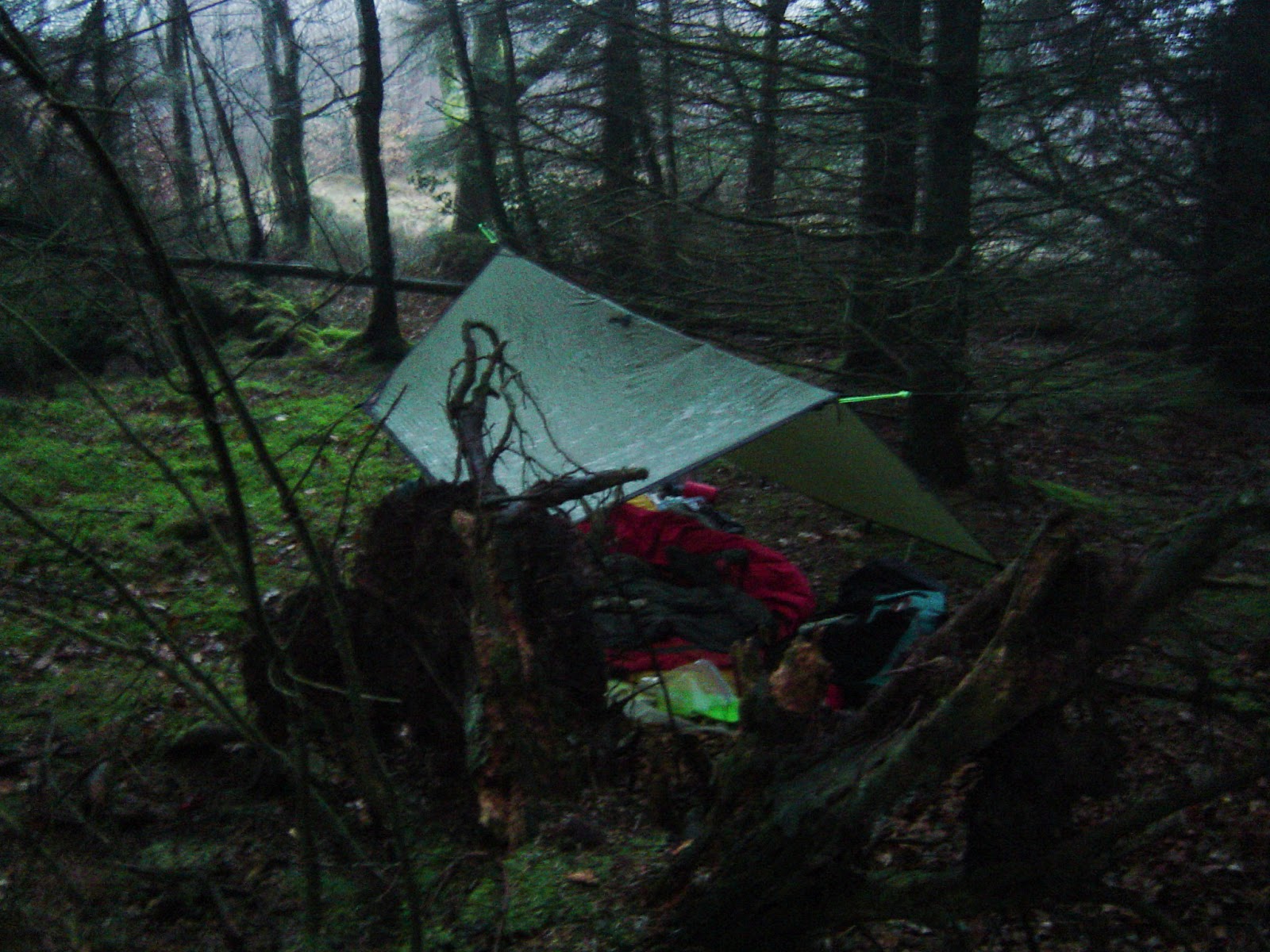
This was one that had been on the waiting list for a while. With spring in the air (just), Neil and I met on a Friday afternoon at a farm just outside Winchcombe where we were permitted to camp. The Way comprise two loops like a figure of eight with Winchcombe in the middle so tents could be left in situ. We pitched in a rather rough paddock, overlooked by a couple of nearby sheep.


We headed into the village and had a meal and drink at The Corner Cupboard to catch up generally and plan the walking the next day. Next morning, were were off at 8 o'clock, joining the nearby Gloucestershire Way which we followed for a while before continuing south east into Guiting Wood and then heading north to Temple Guiting, past the pub at Ford (where we didn't go in), through Cutsdean and Taddington and on to Snowshill where we had a bite to eat and a pint of Donningtons at The Snowshill Arms. Then on through Buckland, Laverton and on to Stanton and Stanway, both beautiful Cotswold villages. Between these two, we encountered some horrendous mud.


Through Wood Stanway and Hailes we arrived back in Winchcombe, about twenty miles covered. Neil had to head back home unexpectedly so packed up and left.

Next morning, I set off early to start the second loop of the Way, leaving Winchcombe westwards following the Gloucestershire Way/Wychavon Way, the route of which is shared by the Winchcombe Way for a while. I was a bit short of food to see me through the day so hoped to find somewhere open. There was nothing obvious at Gretton, the village shop at Alderton was closed on Sundays, as was the tearoom at Dumbleton. Nevertheless, the walking was good, although not very strenuous. I encountered a dilapidated stile at one point where it was easier to go under it rather than over.


At Dumbleton, my eye was caught, passing by the church, by the grave of Patrick Leigh Fermor who had lived here and spent his later life here.


Still no sign of food but after a muddy trudge across some fields, the Way took me literally through the garden of the Hobnails Inn at Little Washbourne. It being Sunday, the choice of food was a bag of crisps or full carvery. It's tough, backpacking.

Skirting the village of Prescott (famous for the nearby Prescott Hill Climb) about which I know next to nothing but I read quite a bit about it some years ago in one of the three volumes of autobiography of L T C Rolt, who lived in the nearby hamlet of Stanley Pontlarge, he being known for a book, Narrow Boat, about his life on the canals in the 1940s and subsequently being one of the founders of the Inland Waterways Association, amongst other things. From Prescott, there was a stiff climb of about three quarters of a mile up to Nottingham Hill. Here, the hitherto reasonable weather then deteriorated and I was hit by strong winds and heavy rain. At the B4632 crossing, instead of doing a loop of Cleeve Common, I took the easy road walk of a couple of miles into Winchcombe and so back to base, by which time the weather had, of course, improved.

It was a good weekend though and there are plenty of options for return trips to the Winchcombe area.